@Akka
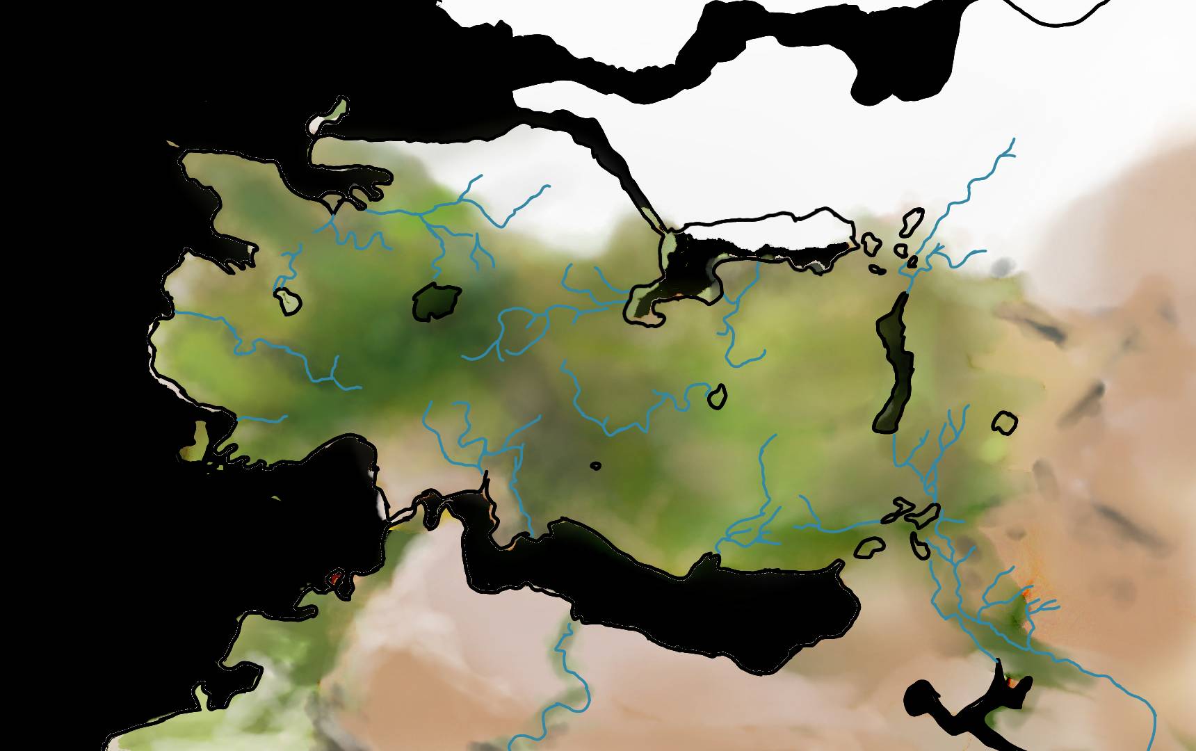
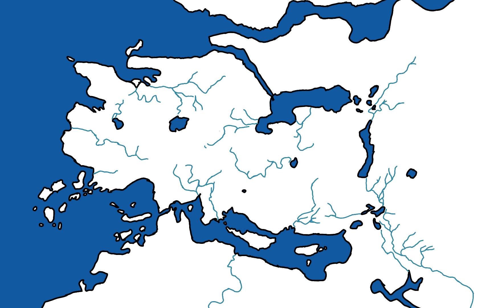
Certainly, the warband map is that flat because of the technical difficulties of the time. Now there are landscape and orography modelling tools that give a much more realistic touch. For that reason for me, a more mountainous map in this installment is better.
Oh, I certainly agree that the "completely flat" aspect was due to limitations, and a more "hilly" aspect, with possibly highlands and rugged terrain, will be both more natural, logical and varied.
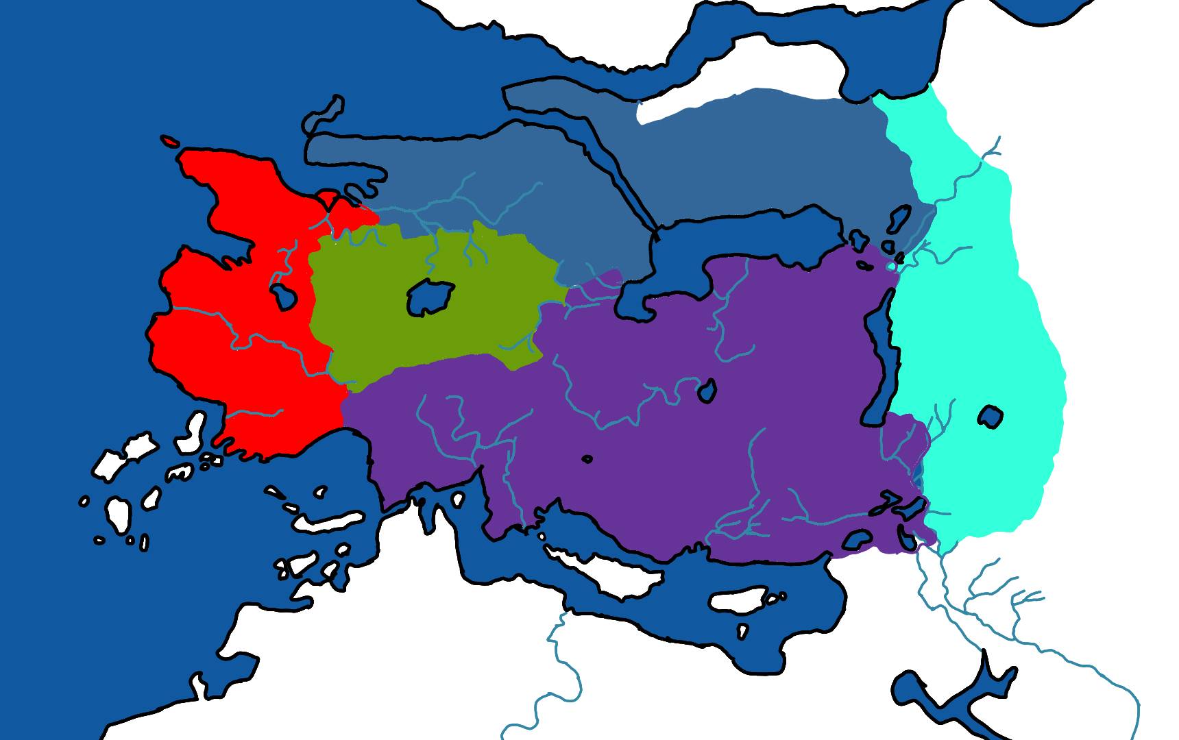
But it was already possible to have "mountains", so I would be more cautious when adding big mountain range, and a good amount of the relief was actually tied to lore (Rhodoks were specifically in mountainous regions hence their heavy emphasis on defensive ranged weapons and spears ; Swadia was famous for its heavy cavalry, made powerful by flat plains, etc.) so I think a "faithful" map should keep this into account. Samely, the Empire was originally a confederation of cities, and that implies that they could somehow communicate easily between themselves, so I'd say the core region of the Empire should have a rather lenient topography (which tie in pretty well with the central plains of Warbands).
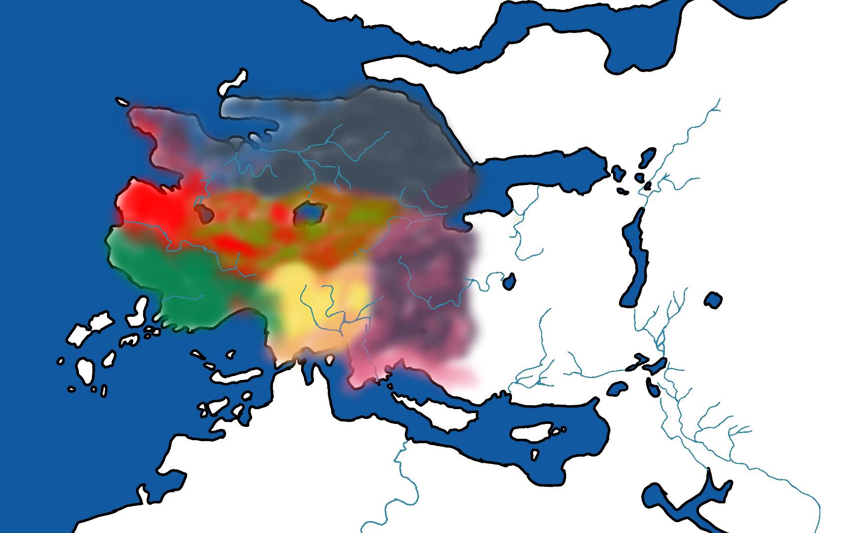
So yeah, I agree that giving more character to the map compared to the very basic Warband one is good, but I don't think literally moving mountains is required, and it would actually be counter-productive.
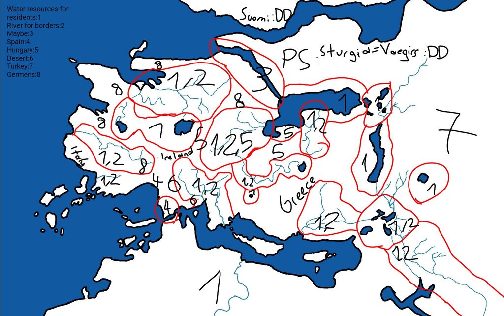
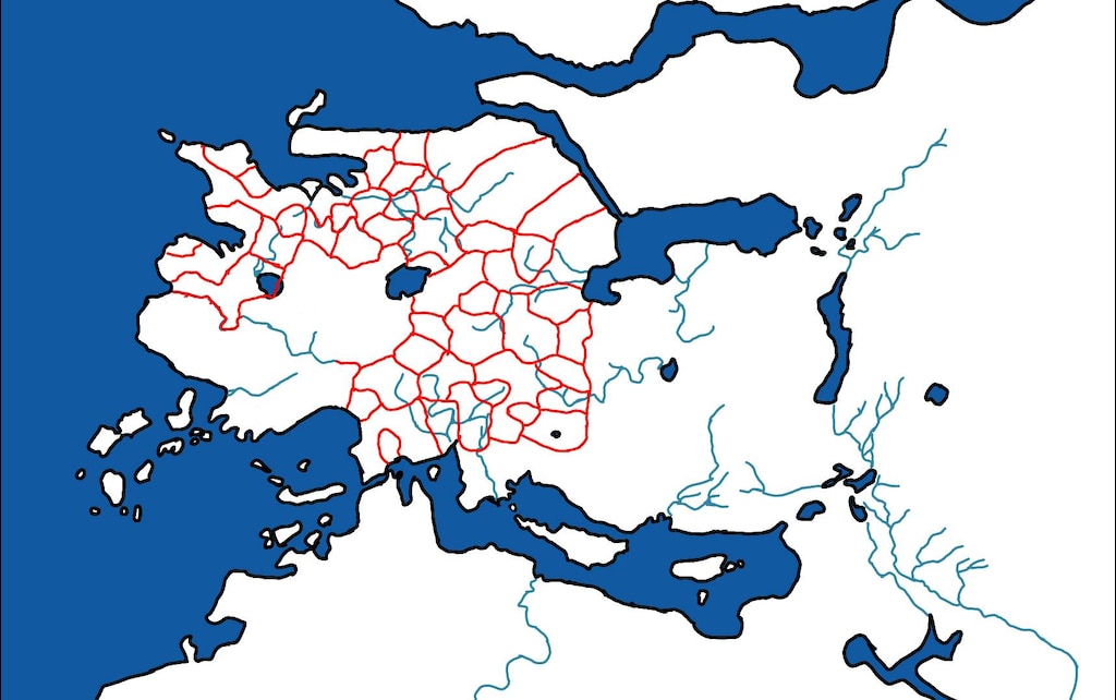
Also, in Bannerlord the Battania faction is introduced and the only space available was the centre of the map, which is flat in that area (warband) and "more mountainous" is required for this new lore.
Good point, and it would make Battania very vulnerable to just be a flat plains. But I'd say, the Celtic feeling of Battania combined with Warband precedent make me feel it should more be "hills and forests" than "mountains". Like the big druidic forests of Gaul.
Also the fact that the map has been prepared for future expansion where river and sea navigation is allowed, makes this new design the best scenario for a favourable experience for the player. The constriction points offered by the orography are also, I believe, a point of difficulty that nourishes this new game.
Water navigation would certainly make the big inner seas less aggravating, but that's not here for a long time.
That's why when I comment about this approach to the warband map I refer to the basic shapes (Sargoth in it's right place f.e.), but I'm certainly in favor of an evolution of the map.
I don't mind "evolution", but I think it's good to still keep with the general configuration for the very rough approximation, like as you say shapes and, as I'd say, mountains.