Globe making software?

Users who are viewing this thread

13 Spider Bloody Chain

Grandmaster Knight
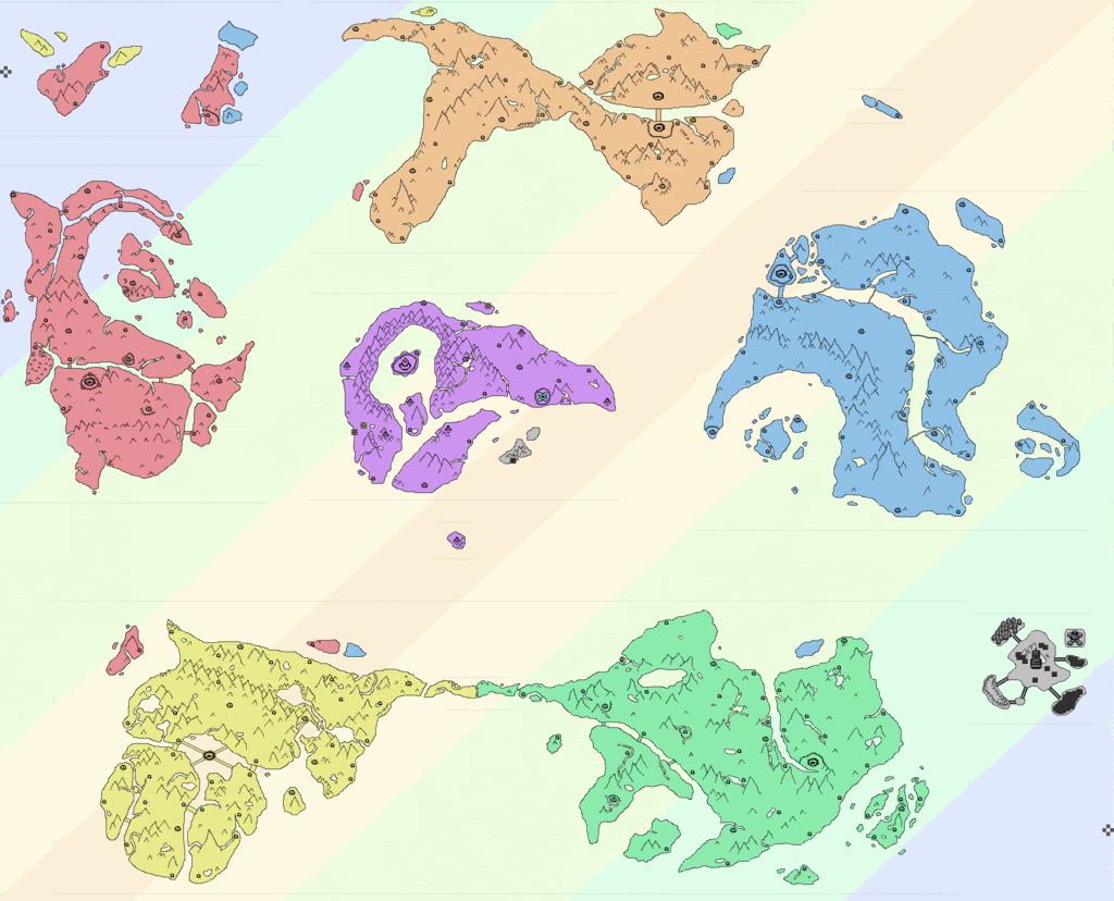
Does anyone here know of some kind of software program that lets you impose 2d images onto a 3r object (like a sphere)? My friends are trying to covert a 2d image of a fictional atlas into a 3d globe.

Freeware is preferred.
 
Oh yeah... :oops: I completely forgot about Wings.

I'm gonna fiddle with it a bit, then post my results.

Edit: I forgot how much of a ***** UV mapping is.

I sliced the sphere into 4 parts (north-south hemisphere, east-west hemisphere), and unfolded it, getting 4 oval-like images that I will somehow have to put a 2d atlas onto...which is going to be a complete pain in the ass (and probably impossible to do for someone with my experience in Wings 3d).

Help?
 
If you send me the image, I bet I could whip something up in a couple minutes in Wings.
 
I tried google earth, but the image is too small, and I can't figure out how to make my already huge image even bigger.

James, expect a PM from me. Thanks for doing this, btw  :grin:
 
I saw someone doing this once eg, put a panorama of a city onto a globe. small stuff.

Now, the question is: can i remember which forum it was on, and then, can i actually find it.
 
I was able to do this in Google earth. Add your image as image overlay. Then right click PROPERTIES and go to the "Location" tab. Enter the following coordinates for North: 90 N, South: 90 S, East: 180 E, and West: 180W.

Now you do realize that any flat surface placed onto a sphere will inevitably have some distortion, yes? Cartographers deal with this problem all the time except they usually have to go from sphere to flat map. Think of an orange peel and trying to flatten it out into a rectangle... you're going to have lots of stretching and tearing.

So unless you drew your 2D image with this in mind, it won't look right on a sphere. Ideally, you should draw your imaginary planet directly onto a sphere to avoid this problem.

Edit: Can be done in one image.
 
Ticvala-PolarityMap.gif


I sent James a second PM about this but it looks like he's busy...
 
**** it, I'm not busy, I'm just having trouble wrapping my mind around it. If it were a simple square I'd have no trouble, but a rhombus?
 
lol

I'm also having trouble wrapping it around my head, because my head is a sphere.
 
Enough with the stupidity or I'll sic Pavlov on you.

( :razz:)

But seriously, I'll go ask my friends about this. Now that you mention it, it is a pretty weird orientation for map...
 
So how come there aren't any continents? I mean, sure, I see a lot of large islands, maybe even some sub-continents, but no actual, full-scale continents. Explanation?
 
...those are the continents. A bit small-looking, I suppose, but they're supposed to be continents.

(I do get what you mean, though, they seem more like big islands than continents.)
 
Well, I see where your coming from. I used to make my maps like that too, but then, when I combined all of them, I realized it just looked like a oversized archipelago. So, now my map's continents usually contain around 3 to four pages worth of land. Now, when I combine them, it looks a lot better and logical. Of course, it also takes up a entire tables surface or more, but oh well.
 
Back
Top Bottom